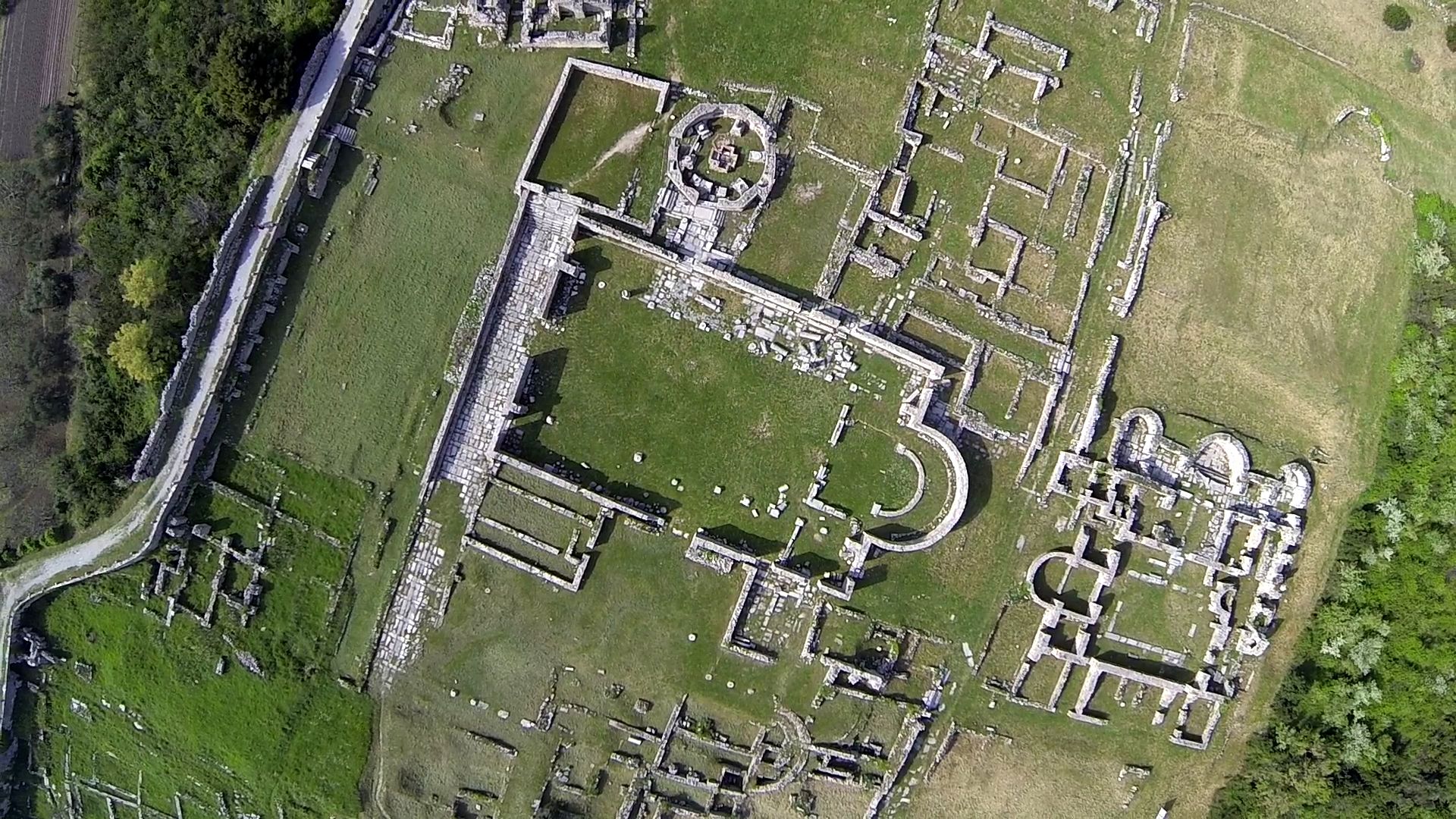
The town’s elliptic core was surrounded by walls built over several centuries. They are quite well preserved on the northern side, where there are about a hundred square towers. The walls extend from the amphitheatre to the town northeastern gate, by which the road led into the hinterland, firstly to Klis, and then by one branch to Andetrium and by the other to Osinium (Sinj) and further on to the Cetina, Tilurium and deep into the Balkans. The oldest wall remains, probably date from the Roman Republic times, were built in large stone blocks (megalithic walls, often from the Hellenistic and early Roman times). These are situated in the centre of the town, at their eastern end there is preserved the somewhat later town gate known as Porta Caesarea . This was built in the first century A.D. It is hard to say when the first fortifications were built, they were probably intended to protect the trapezoidal town, where the Roman consul Cecilius Metel wintered in 119-118 while fighting here against the Illyrians. At the time of August’s peace, after conquering the Delmats and other Illyrian tribes, Salona started spreading out from its old, original town core, both westward and eastward. The eastern, monumental town gate thus remained right in the town centre, losing its original purpose, like the gate in the western walls of which no remains have been preserved. In the fourth century, above the eastern gate, a decorative keystone was built in, showing the goddess Tycha.
The town spread without an overall plan, using vacant areas to the north and the south of the road that, like the Salon, passing through the eastern part of the town, influenced the urban topography and building of public and private buildings. In the beginning, up until the time of Marcus Aurelius and the dangers created by invasions of the Marcomanns and the Quadis, these parts of the town were not fortified.
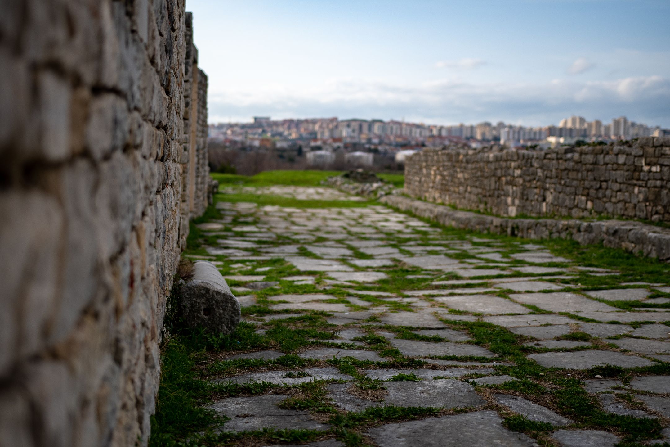
Initially, and probably for a long time later, the town’s protection was improved by the natural relief of the land that gradually descends from Mount Kozjak’s slopes towards the coast, forming several hills and valleys that made defence easier. The soil eroded over the centuries from the mountain and levelled the land with the wall crest in many places, today this is used as a path along the town perimeter.
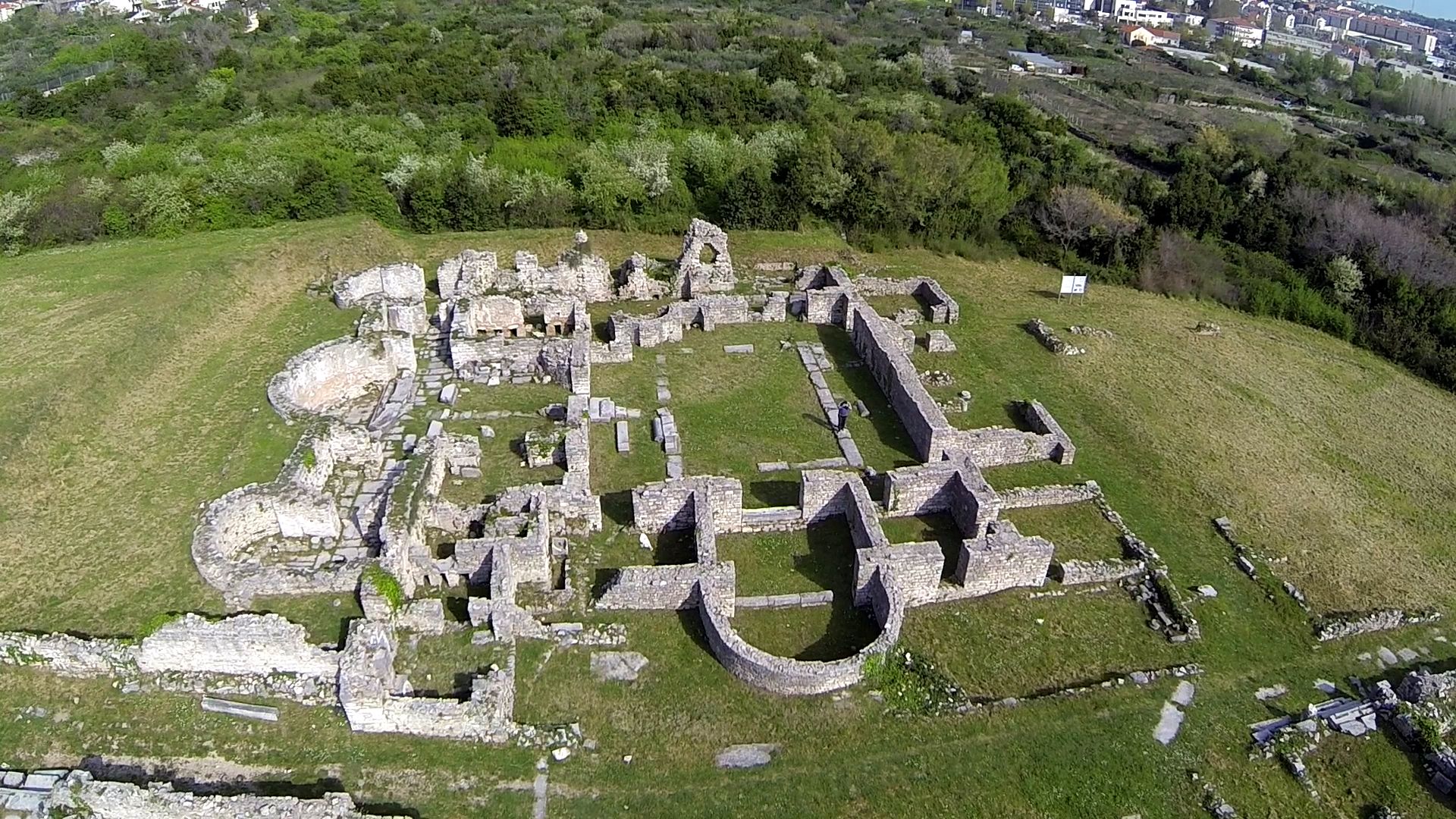
The same happened south of Manastirine, and is still visible on the way from Tusculum in a southerly direction, down the cypress-lined walk, where partly excavated walls with square and pentagonal towers can be seen. The towers are believed to have been added in the sixth century, at the time of the war between the Ostrogoths and the imperial army that was fought here. Having taken Salona, the emperor’s general Constantinian repaired and improved fortifications fearing attacks of the Gothic army that withdrew into the continent, towards Burnum, Aseria (Benkovac), Scardona and Skradin.
The largest part of the earliest walls that protected the eastern part of the town were erected in about 170, this being certified by two inscriptions cut into a stone slab and built into the outer, northern, side of the walls, near the Porta Andetria. The two complete and valuable inscriptions say that a Delmatian cohort (cohors secunda Delmatarum), commanded by the tribune Granius Fortunatus, built 800 (Roman) feet and the 2nd and the 3rd sections of the legion, supervised by the centurion Publius Elius Aminitianus, 200 feet of walls and several towers in the north part of the town. One lost inscription read that, at the same time, the first Delmatian cohort erected 800 feet of wall and one tower. That would be equal to about 430 metres of walls in total.
At the same time, the western part of the town, the Dyggve’s Urbs occidentalis, also, was probably surrounded with walls that the amphitheatre was made a part of.
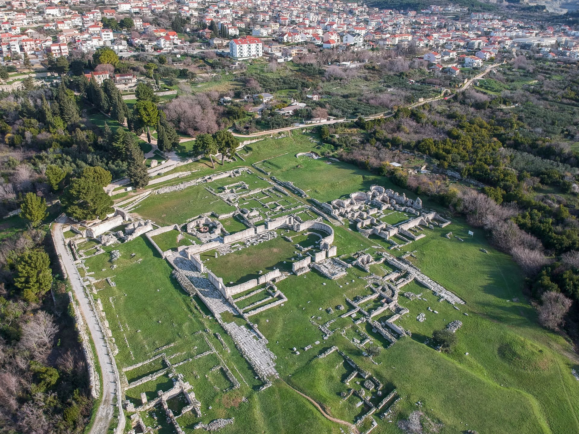
Thus Salona got a roughly elliptical shape, of axes of about 1600 and 700 metres, and about 500 hectares in area. After this, during the third and the fourth centuries, defence was no particular issue in the town since there was no significant danger. It seems that some larger works were performed at the time of the emperor Teodosius I (379-395), whereas the above-mentioned works, from the times of the Byzantine-Gothic wars, are certain.
Within the ellipse, the majority of the Salonitan monuments are situated there, outside it there were pagan and Christian cemeteries, the latter with cemetery churches. Of course, on the large area of the Roman land plotting (colony centuriation; both westward and eastward, to the present Trogir, Split and Stobreč, there were residential and industrial buildings, cemeteries, industrial installations, etc., confirmed by discoveries appearing at almost every present-day construction works.
[Edit mode] Swiper Gallery: att Gradske zidine