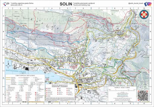
The thematic hiking route "Spring of life" aims to connect the excursion resort Jadro with Mravinci and Kučine and to create a new tourist product. The route is circular and combines the story of the source of the river Jadro, but also the sacred heritage, therefore it is called the "Source of Life".
The total length of the hiking route is about 9 km, and the altitude of this route is up to 400 m.
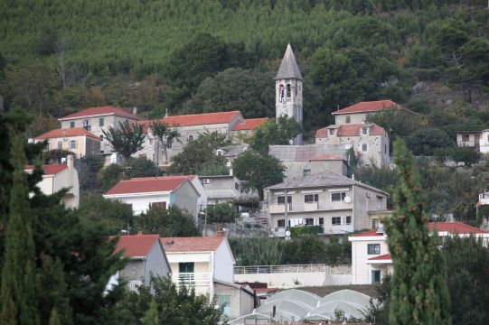
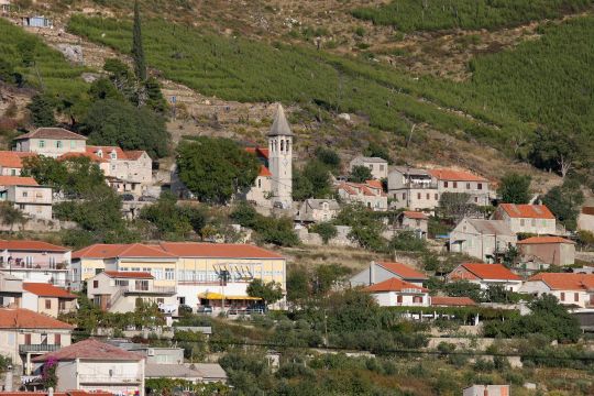
The route starts at the Jadro picnic area and continues towards the Chapel of St. George from 1397, after which it leads to the Kuk Fortress (Old Town) from the 16th century, which was used for defense against the Turks, and below which is the church of St. Peter. Further, the route continues along the ridge path to the highest quota of the path, the area called Kapina, which is the name of one of the characteristic streams that descend from this part of Mosor towards Kliško polje. From Kapina, the route continues to the village of Kučine, next to the Church of the Immaculate Conception of the Blessed Virgin Mary and the small church of St. Luke, where there is a wooden polychrome and gilded altar. After Kučine, the route continues through the center of Mravinci and goes down the road to the fork for the footpath, before which it passes the Old Croatian cemetery. The route follows most of Diocletian's aqueduct all the way to the Jadro picnic area.
The full length of the 9 km trail is suitable for mountaineers and beginner mountaineers (K1 - T2 - VR3), while the shorter 7.5 km version is suitable for recreationists with good physical condition.
Appropriate footwear is required (boots, preferably walking sticks and sufficient amounts of fluids). Use the trail at your own risk.
Cycling route: Warriors of history
Amphitheater Solin - Put Voljaka - Kaštel Sućurac - Amphitheater Solin
This Salonitan beauty takes us on the trail of Game of Thrones, but also into the magnificent history of this region. The amphitheatre belonged to ancient Salona, once the capital of the Roman province of Dalmatia, whose size can be seen in the remains of the impressive walls with towers, city gates, forum with temples, theatre and cemetery with Salonitan martyrs. The amphitheatre was built outside the city walls in the second half of the 2nd century BC, but soon became part of the city due to the expansion of the city and its parts became a part of the city walls. A cemetery with dead gladiators was found near the amphitheatre, on which their names, origins and martial arts specialities are listed. The depiction of the city on Trajan's Column in Rome reveals the importance of Salona in antiquity. In addition to the ancient cradle, Solin is also considered the cradle of ancient Croatian history. Namely, Solin is one of the three important centres of that time, where Croats immigrated around the year 800. The most valuable monument from this period is the inscription of the Croatian Queen Jelena, who ruled the kingdom from Solin, and the information about the coronation of the Croatian King Zvonimir in Šuplja crkva (Hollow Church) in 1075.
Mravince
Life has existed uninterruptedly in the area of today's Mravince parish from prehistoric times to the present day. Pottery from prehistoric times has been found on the western side of the Sutikva Hill. In 1937, a cemetery from the early Middle Ages was discovered in Mravince, in the area called Glavičine. There, 130 graves were explored, making this cemetery one of the largest from the ancient Croatian period. These graves belong to baptised Croats who lived in the medieval village of Prosik, which was located on the north-western side of today's Mravince.
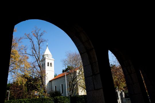
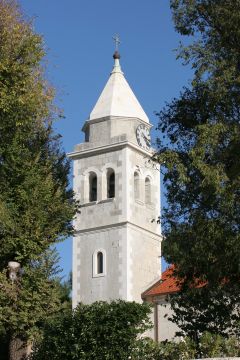
Prosik was inhabited until the thirties of the 16th century and the parish of St. Jacob (Sv. Jakov) was mentioned there in 1495. It seems that the parish of Mravince was founded at the beginning of the 18th century when the neighbouring population was incorporated into it. In 1873, the inhabitants of Mravince built a parish church in the centre of the village and dedicated it to the old, former titular, St. John the Baptist (v. Ivan Krstitelj), still worshiping St. Mary (sv. Marija). The original wooden altars were replaced by neoclassical marble altars in 1912. The large altar in the sanctuary is made of dark and red marble. On top of it is a large marble sacristy with a throne for the presentation of the Blessed Sacrament.
The Folklore Society (KUD) of Zvonimir Mravince was founded in 1928. The decades of continuous work of the Society best testify to the harmony and unity of the inhabitants of Mravince. KUD Zvonimir has its headquarters in the cultural centre built in 1932. The Society has always been the centre of the cultural, educational and entertainment life of the people of Mravince and has organised a number of valuable events throughout its history. The Mravince Shooting Club, founded in 1999, plays an important role in the sporting history of Mravince, which in its short history recorded excellent team and individual results by winning the Croatian Championship. Also worth mentioning is the "Mravince" chess club, founded in 1984, which is a multiple Croatian chess champion.
Kučine
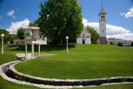
To the east of Solin, on the southern slope of Mount Mosor, lies Kučine, once a medieval village called Kuk or Pod Kukom. The name of the Kuk (belay) rock, which is mentioned in the will of the priest Crnota from 1144 in the its Latinized form Pot Chilco, was transferred to the village below in the form Pod Kukom (Under-the-Belay), and from the 18th century the village began to be called Kučine and is located in the same parish as Mravince. It is the predecessor of today's Kučine and Mravince. It included lands, many of which have retained their old names to this day: Pod sv. Teklom (Under St. Tekla), Dračevac (Thorny Shrubs), Doci (Valleys), Pod Gustirnom (Under-the-Cistern), Trstenik (Reed Grove), etc. The church of St. Luke in the local cemetery dates back to the pre-Turkish period, judging by the inscription engraved above the door.
On a large rock (285 m), called Gradina or Stari grad, there was a fortress from the prehistoric period and a fortification from the Venetian-Turkish wars, which can be concluded from the finds of pottery and defence walls, i.e. the walls of the houses within the fortress. From there, the area from Klis in the north across the entire Solin Field and Kaštela Bay to Trogir and Čiovo, Split and its surroundings, and Žrnovnica in the south-east was monitored. The walls extend south to St. Peter’s Church (Sv. Petar), which is located on a slightly lower slope of Mount Mosor.
The fortress on Kuk was allegedly built by the inhabitants of the Solin Field, mainly those from Prosik, who retreated to the higher slopes of Mount Mosor in the face of the Turkish threat. The fortress was demolished by the Turks in 1539 so as not to interfere with the cultivation of the Solin Field. It was then restored.
Jadro River park – The Jadro River
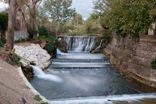
Jadro (lat. Iader), also known as Solinčica or "Solinska rika" ("the Solin river"), is a river in Split-Dalmatia County that springs at the foot of Mount Mosor. Its course is 4.5 kilometres long and flows through the town of Solin and the Solin Field to its estuary in the area of Kaštela Bay, where it flows into the Adriatic Sea.
The river is extremely rich in high-quality, clean and drinkable water and is therefore of great importance for the lives of the surrounding population, settlements and towns it supplies. Towns that use drinking water from the Jadro River are Solin, Split, Kaštela, Trogir and their surroundings. The source of the Jadro River is located in an area about 9 kilometres from the town of Split.
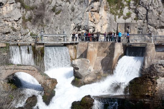
The source of the river has been used for water supply since ancient times. It supplied the Roman Salona and Diocletian's Palace via Diocletian's aqueduct. The Diocletian's aqueduct dates back to the end of the 3rd century and stretches over 9 kilometres from the source of the Jadro River to Diocletian's Palace.
The River Jadro is divided into upper, middle and lower flow. The upper flow of the river is protected and declared an ichthyological reserve, as this is the original habitat of the endemic species of softmouth trout (Salmot obtusirostris salonitana).
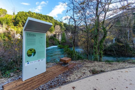
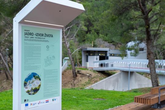
With the "Jadro - Izvor života" (Jadro – source of life) project, the neglected areas of the upper flow of the river were improved and restored with the help of European funds. In the upper part of the protected area there is now a renovated excursion area - Jadro Excursion Site.
What was once a small family picnic area near the source of the Jadro River has been given new educational and entertainment facilities. Today, the excursion area is suitable for teaching and education, research, observation of the flora and fauna of the area, but also for recreation and relaxation of visitors.
There are numerous educational contents presenting the natural and historical heritage of this area, with a special focus on the study of the softmouth trout and emphasising the importance of its protection and ecology. The entire area is connected by footpaths and enriched with planted autochthonous plants.
A bunker from the Second World War has been converted into an Interpretation centre with the aim of highlighting the importance of conserving the endemic species of softmouth trout. There is also a children's playground, a bowling alley and a visitor centre with a multimedia hall and a cellar with a hatchery for softmouth trout. The visitor centre is connected to the restaurant by a central terrace, and parking spaces for cars, bicycles and wheelchairs are also available.
The marl quarry in Majdan, which was used for the exploitation marl for the needs of the cement factory "10. kolovoz " (10th August), has now been converted into a sensory park and nature trail, an outdoor educational space. Footpaths, forests and sensory polygons of the five senses are laid out with the aim of stimulating the sensory experience of each sense and raising awareness of the importance of connecting with nature and its preservation, as well as ecological action. The footpath connects polygons and educational panels and also functions as a trim trail, combining sensory, intellectual and physical development in this type of outdoor classroom.


